
L a N e t

Loading

Nigeria's free digital learning hub. Videos, lecture notes, practice questions and leaderboards aligned with CCMAS, NBTE, NCCE, WAEC, NECO, IJMB and JAMB curricula.

  • 100% Free — No Subscription. No Paywall. Ever.

GPH 414 — Environmental Geophysics

Geophysics · 400 Level · Second Semester

About this course

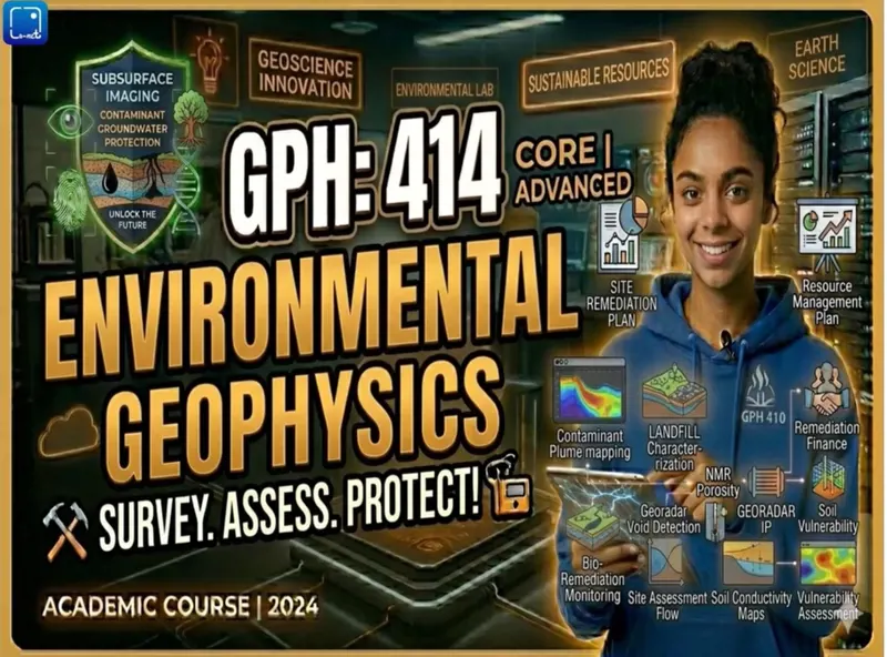
GPH 414 Environmental Geophysics is a 400 Level course in the Geophysics department, taught in the Second Semester. On La-Net Hub you can watch all 15 recorded lectures for free, grouped into 5 series, read the course lecture note online or download it as a PDF, and test yourself with practice questions.

Geophysical techniques play a critical role in environmental studies by providing non-invasive, cost-effective means of investigating subsurface conditions relevant to pollution and groundwater systems. Methods such as electrical resistivity tomography (ERT), ground-penetrating radar (GPR), seismic refraction, and electromagnetic surveys are widely applied to map variations in subsurface properties that reflect contaminant distribution, aquifer characteristics, and hydrogeological structures. In groundwater quality mapping, these approaches help delineate zones of saline intrusion, identify protective clay layers, and detect pathways of contaminant migration. Similarly, in subsurface contamination assessment, geophysical data are integrated with hydrochemical analyses to characterize pollutant plumes, monitor remediation processes, and evaluate environmental risks. Overall, the integration of geophysical methods with environmental and geospatial data enhances the understanding of complex subsurface processes, supporting sustainable groundwater management and effective pollution control strategies.

An Applied Introduction to Earth Science Principles and Geophysical Techniques for Investigating Environmental Problems explores how core Earth science concepts—such as geology, hydrology, atmospheric processes, and soil science—are combined with modern geophysical methods to understand and address environmental challenges. It focuses on practical applications of techniques like seismic surveys, electrical resistivity, ground-penetrating radar, and remote sensing to detect subsurface conditions, monitor pollution, assess groundwater resources, and manage natural hazards. By integrating scientific theory with field-based investigation and data analysis, this approach equips students and professionals with the tools needed to diagnose environmental issues, support sustainable decision-making, and develop effective solutions for protecting and managing the Earth’s systems.
Lectures in this course

Series 1: An academic introduction to geophysical techniques applied in environmental pollution studies, groundwater quality mapping, and subsurface contamination assessment quality mapping (series 2)

  1. An academic introduction to geophysical techniques applied in environmental pollution studies, groundwater quality mapping, and subsurface contamination assessment 1 10 minutes 38 seconds
  2. An academic introduction to geophysical techniques applied in environmental pollution studies, groundwater quality mapping, and subsurface contamination assessment 2 11 minutes 38 seconds
  3. An academic introduction to geophysical techniques applied in environmental pollution studies, groundwater quality mapping, and subsurface contamination assessment 3 11 minutes 6 seconds

Series 2: An applied introduction to earth science principles and Geophysical techniques for investigating environmental problems (series 1)

  1. An applied introduction to earth science principles and Geophysical techniques for investigating environmental problems 1 11 minutes 6 seconds
  2. An applied introduction to earth science principles and Geophysical techniques for investigating environmental problems 2 11 minutes 15 seconds
  3. An applied introduction to earth science principles and Geophysical techniques for investigating environmental problems 3 10 minutes 57 seconds

Series 3: natural and sources of chemical pollution, Geophysical Techniques for investigating chemical pollution, Delineation and assessment of chemical pollution plumes (series 4)

  1. natural and sources of chemical pollution, Geophysical Techniques for investigating chemical pollution, Delineation and assessment of chemical pollution plumes 1 8 minutes 41 seconds
  2. natural and sources of chemical pollution, Geophysical Techniques for investigating chemical pollution, Delineation and assessment of chemical pollution plumes 2 7 minutes 57 seconds
  3. natural and sources of chemical pollution, Geophysical Techniques for investigating chemical pollution, Delineation and assessment of chemical pollution plumes 3 7 minutes 58 seconds

Series 4: oil spillage, pollution Delineation, and Environmental mapping (series 5)

  1. oil spillage, pollution Delineation, and Environmental mapping 1 9 minutes 28 seconds
  2. oil spillage, pollution Delineation, and Environmental mapping 2 10 minutes 15 seconds
  3. oil spillage, pollution Delineation, and Environmental mapping 3 9 minutes 50 seconds

Series 5: The nature and causes of saline water intrusion geophysical investigation techniques, and groundwater quality assessment and mapping (series 3)

  1. The nature and causes of saline water intrusion geophysical investigation techniques, and groundwater quality assessment and mapping 1 6 minutes 35 seconds
  2. The nature and causes of saline water intrusion geophysical investigation techniques, and groundwater quality assessment and mapping 2 7 minutes 49 seconds
  3. The nature and causes of saline water intrusion geophysical investigation techniques, and groundwater quality assessment and mapping 3 7 minutes 21 seconds